
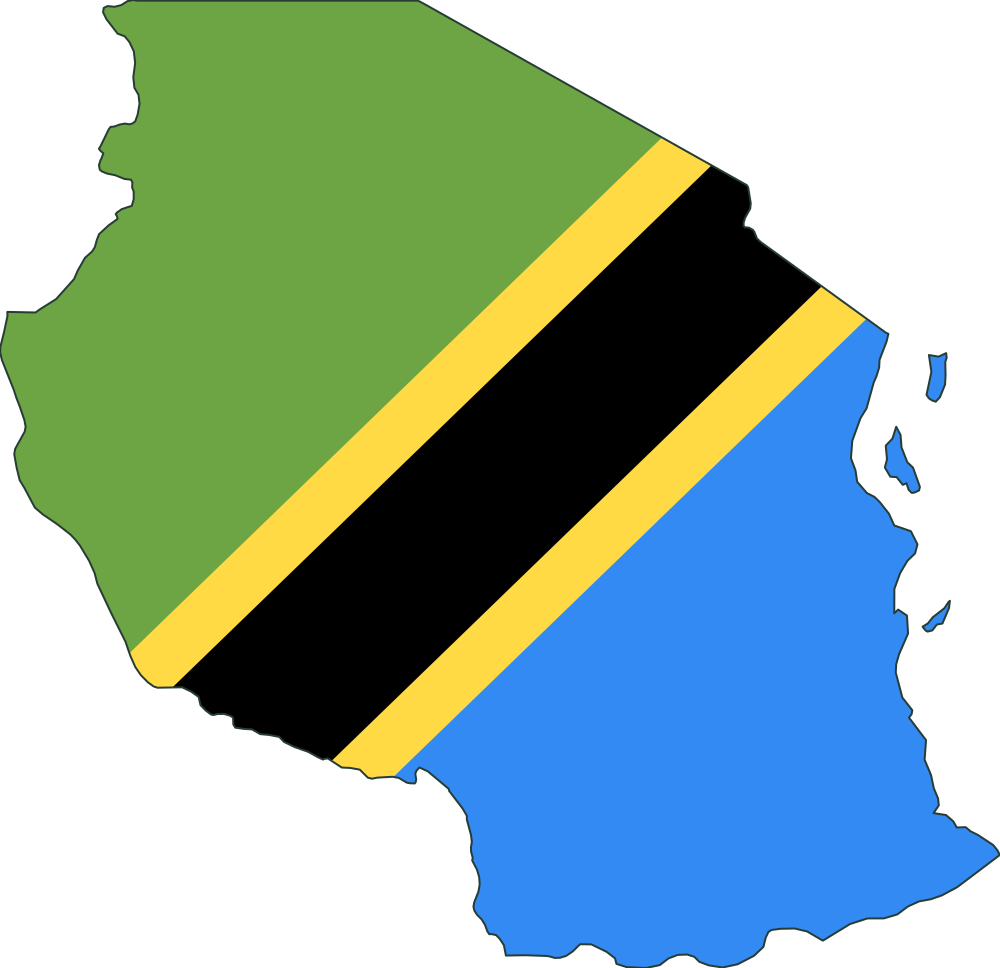
How far north to south is Tanzania compared with Moldova?
North is up. Compare width or height, not land area.
01 / 05
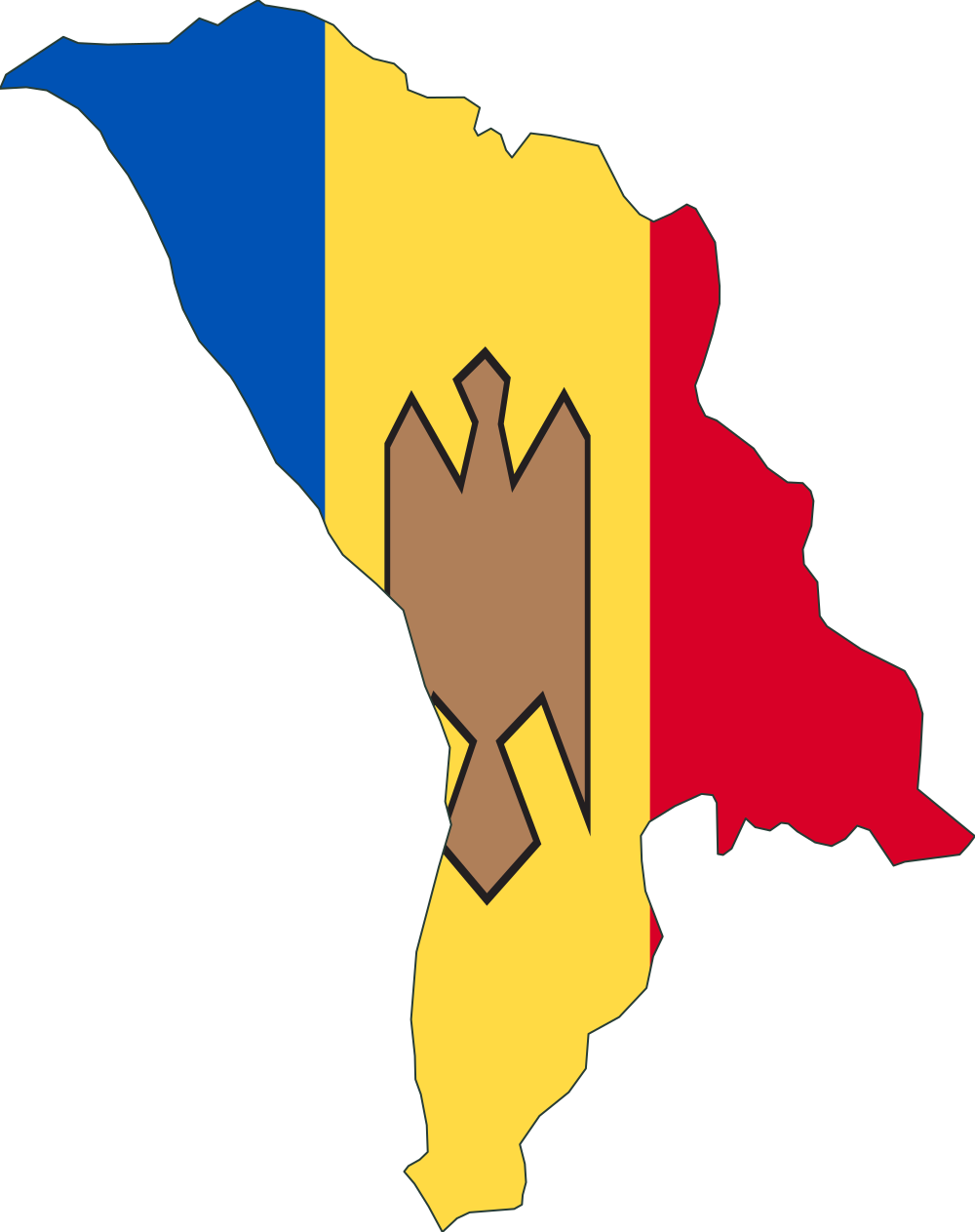
MoldovaReference
TanzaniaYour estimate
Fine tune
North is up. Compare width or height, not land area.
A world of proportions
Use the country on the left as your reference. Resize the country on the right until its east–west width or north–south height looks correct, then lock in your estimate.
Five daily rounds draw ten different places from 193 UN member states and eight regions. A pair never repeats across days, even if its sides or measured direction change. Score up to 100 points per round, 500 total. Play at your own pace; the daily challenge changes at 00:00 UTC.
Simplified outlines from Natural Earth face north. Answers give approximate east–west or north–south spans in kilometres, not land areas or the distance between the farthest points. Some remote islands are omitted; each answer explains the included territory.
Explore the Natural Earth map dataClassic, Geography, Weight and Detective have separate daily progress and leaderboards. Your name and profile are shared across all four challenges.