Answers from this past challenge. Today’s challenge remains a surprise.
Simplified outlines from Natural Earth face north. Answers give approximate east–west or north–south spans in kilometres, not land areas or the distance between the farthest points. Some remote islands are omitted; each answer explains the included territory.
Round 1
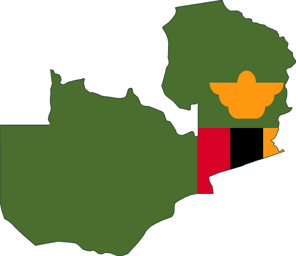
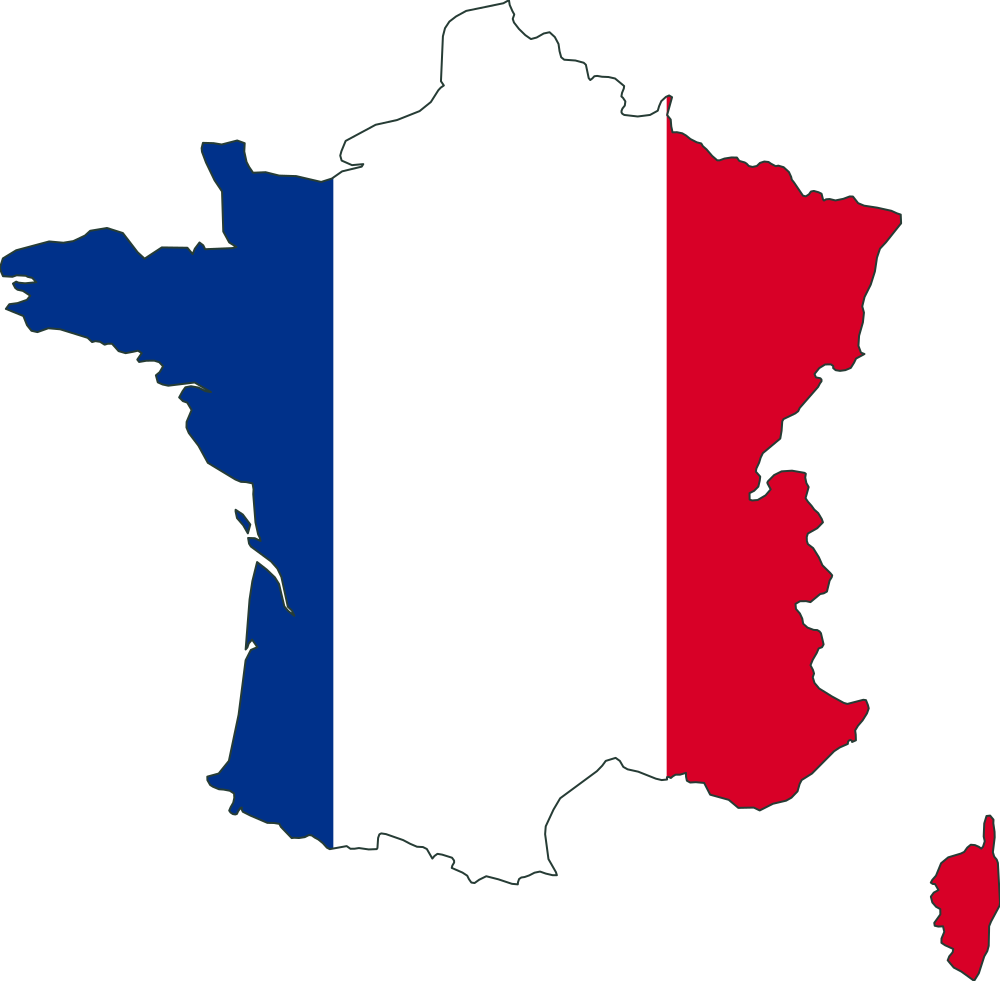
How wide is France compared with Zambia?
ReferenceZambia≈ 1,270 km east–west
Compared objectFrance≈ 1,100 km east–west
Illustrations shown individually, not to a shared scale.
Actual size ratio
≈ 0.8704×
France ÷ Zambia, comparing east–west width.
This simplified Natural Earth outline of France shows mainland France, Corsica and nearby European islands, excluding overseas territories. Its approximate east–west span is 1,100 km in a local equirectangular projection corrected at the outline's middle latitude. This is a projected extent, not land area.
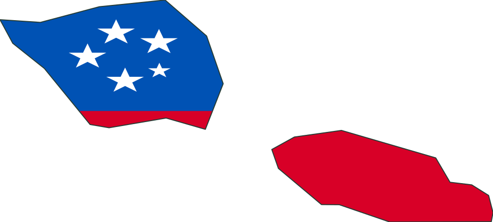
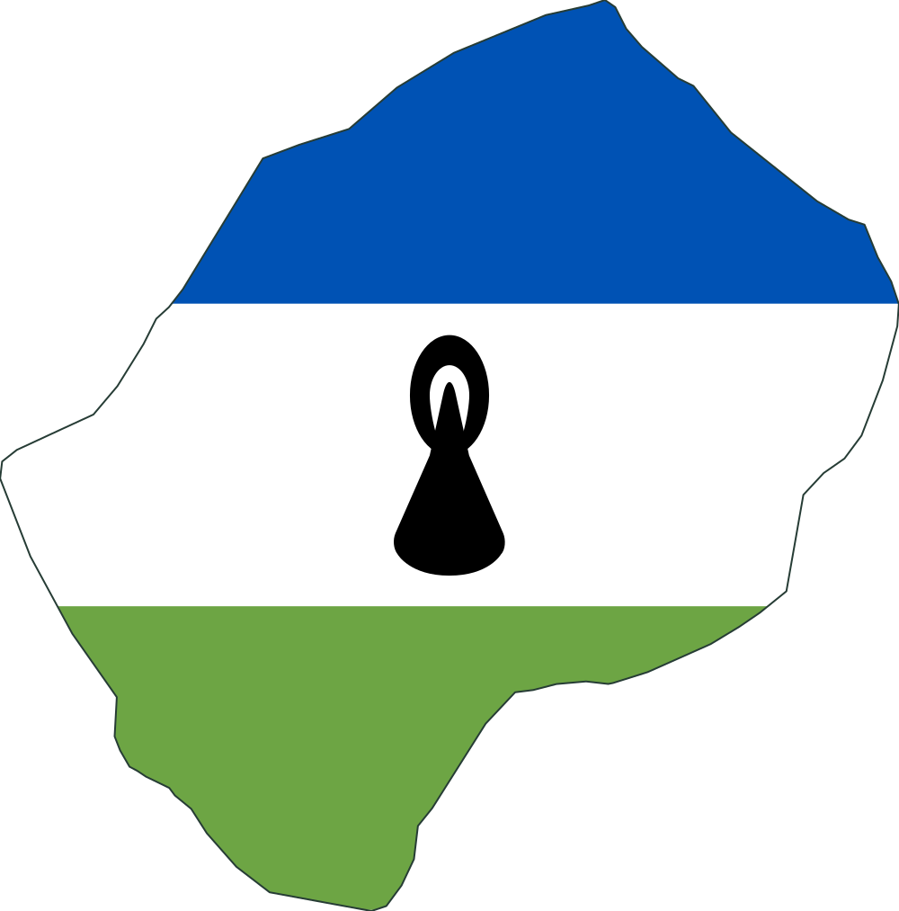
How far north to south is Lesotho compared with Samoa?
ReferenceSamoa≈ 65 km north–south
Compared objectLesotho≈ 230 km north–south
Illustrations shown individually, not to a shared scale.
Actual size ratio
≈ 3.54×
Lesotho ÷ Samoa, comparing north–south height.
This simplified Natural Earth outline of Lesotho shows the territory and islands represented in this dataset. Its approximate north–south span is 230 km in a local equirectangular projection corrected at the outline's middle latitude. This is a projected extent, not land area.
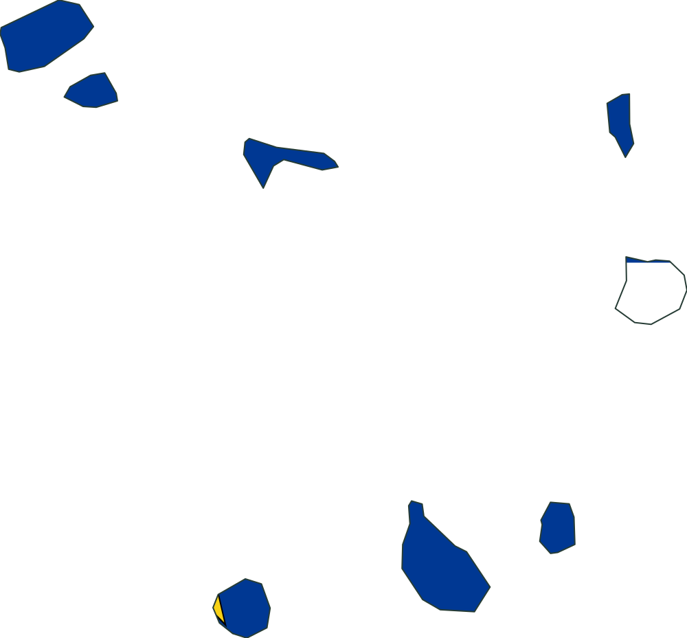
This simplified Natural Earth outline of Cape Verde shows the territory and islands represented in this dataset. Its approximate north–south span is 260 km in a local equirectangular projection corrected at the outline's middle latitude. This is a projected extent, not land area.
Illustrations shown individually, not to a shared scale.
Actual size ratio
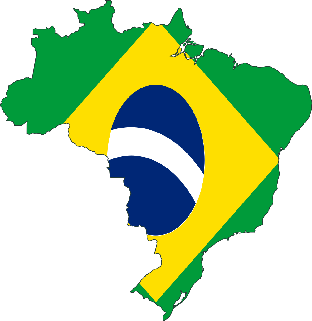
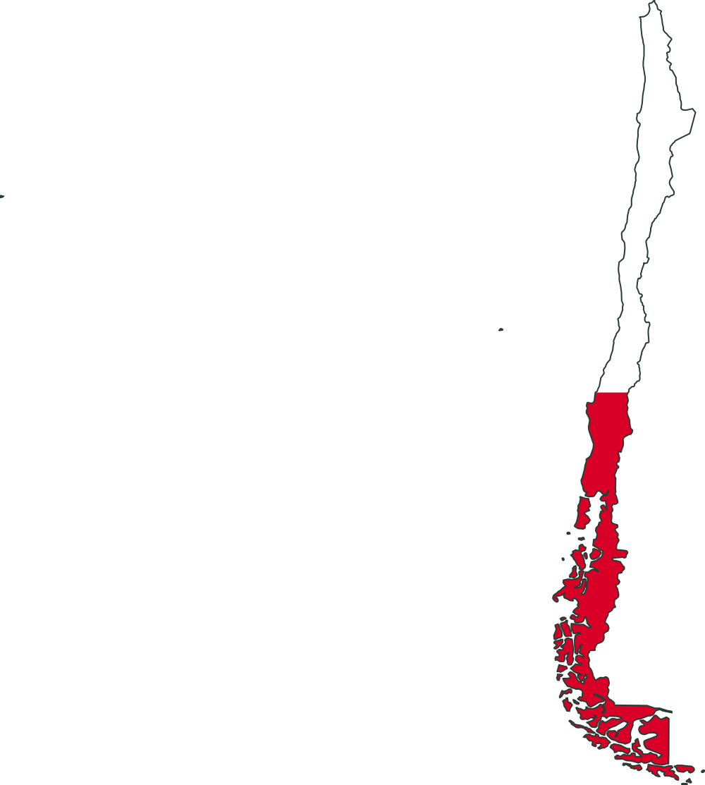
≈ 0.9074×
Chile ÷ Brazil, comparing east–west width.
This simplified Natural Earth outline of Chile shows the territory and islands represented in this dataset. Its approximate east–west span is 3,830 km in a local equirectangular projection corrected at the outline's middle latitude. This is a projected extent, not land area.
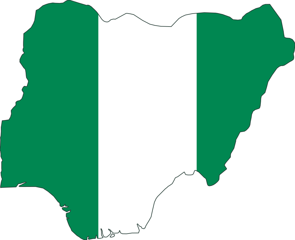
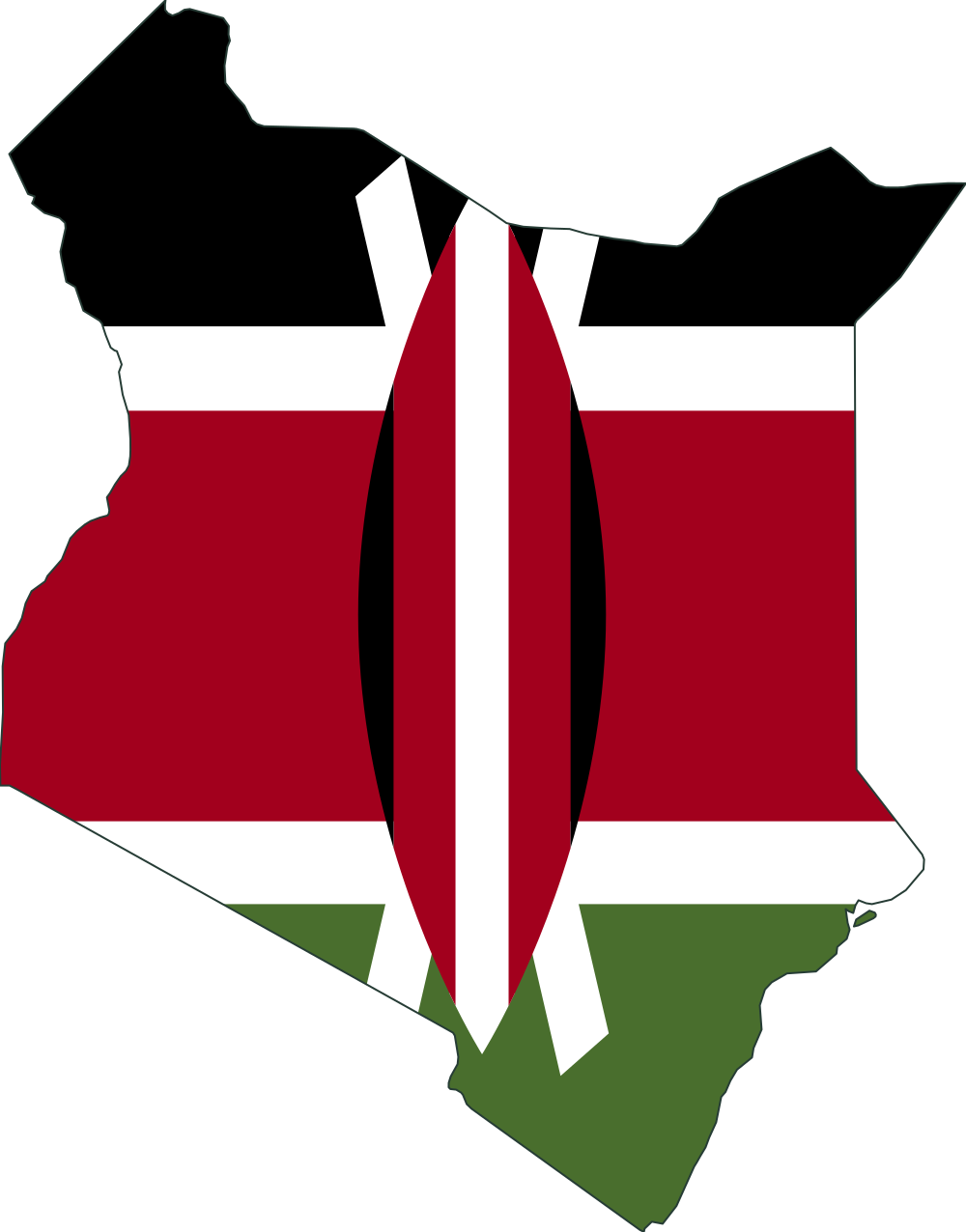
How far north to south is Kenya compared with Nigeria?
ReferenceNigeria≈ 1,070 km north–south
Compared objectKenya≈ 1,130 km north–south
Illustrations shown individually, not to a shared scale.
Actual size ratio
≈ 1.061×
Kenya ÷ Nigeria, comparing north–south height.
This simplified Natural Earth outline of Kenya shows the territory and islands represented in this dataset. Its approximate north–south span is 1,130 km in a local equirectangular projection corrected at the outline's middle latitude. This is a projected extent, not land area.