A little perspective

Trust your eye.

Use the country on the left as your reference. Resize the country on the right until its east–west width or north–south height looks correct, then lock in your estimate.

  1. Compare

    North is up. Compare width or height, not land area.

  2. Find the right size

    Drag the blue handle, scroll while hovering it, tap − / +, or use the arrow keys. Match the dimension in the question.

  3. Lock it in

    Reveal the real size and earn up to 100 points. Five rounds add up to a maximum of 500.

The first answer in each round counts. A new challenge arrives every day at 00:00 UTC. Object sizes use the specific examples shown in the answer.

Read the full rules and scoring guide
Practice · not ranked
All past challenges

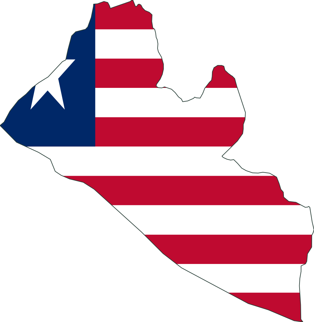
How far north to south is Malaysia compared with Liberia?

North is up. Compare width or height, not land area.

01 / 05
Liberia, reference object for north–south height comparison
Malaysia, estimated north–south height relative to the Liberia
LiberiaReference
MalaysiaYour estimate
Fine tune
All past challenges
View answers and sources

Answers from this past challenge. Today’s challenge remains a surprise.

Simplified outlines from Natural Earth face north. Answers give approximate east–west or north–south spans in kilometres, not land areas or the distance between the farthest points. Some remote islands are omitted; each answer explains the included territory.

  1. Round 1

    How far north to south is Malaysia compared with Liberia?

    Liberia, used for the north–south height comparison
    ReferenceLiberia≈ 470 km north–south
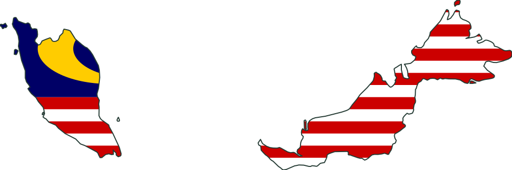
    Malaysia, used for the north–south height comparison
    Compared objectMalaysia≈ 720 km north–south

    Illustrations shown individually, not to a shared scale.

    Actual size ratio

    ≈ 1.55×

    Malaysia ÷ Liberia, comparing north–south height.

    This simplified Natural Earth outline of Malaysia shows the territory and islands represented in this dataset. Its approximate north–south span is 720 km in a local equirectangular projection corrected at the outline's middle latitude. This is a projected extent, not land area.

    Measurement source · naturalearthdata.com
  2. Round 2

    How far north to south is Marshall Islands compared with Yemen?

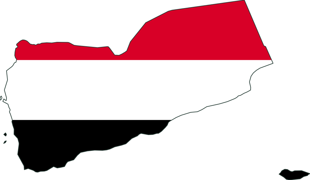
    Yemen, used for the north–south height comparison
    ReferenceYemen≈ 740 km north–south
    Marshall Islands, used for the north–south height comparison
    Compared objectMarshall Islands≈ 600 km north–south

    Illustrations shown individually, not to a shared scale.

    Actual size ratio

    ≈ 0.8041×

    Marshall Islands ÷ Yemen, comparing north–south height.

    This simplified Natural Earth outline of Marshall Islands shows the territory and islands represented in this dataset. Its approximate north–south span is 600 km in a local equirectangular projection corrected at the outline's middle latitude. This is a projected extent, not land area.
    Measurement source · naturalearthdata.com
  3. Round 3

    How wide is Switzerland compared with Syria?

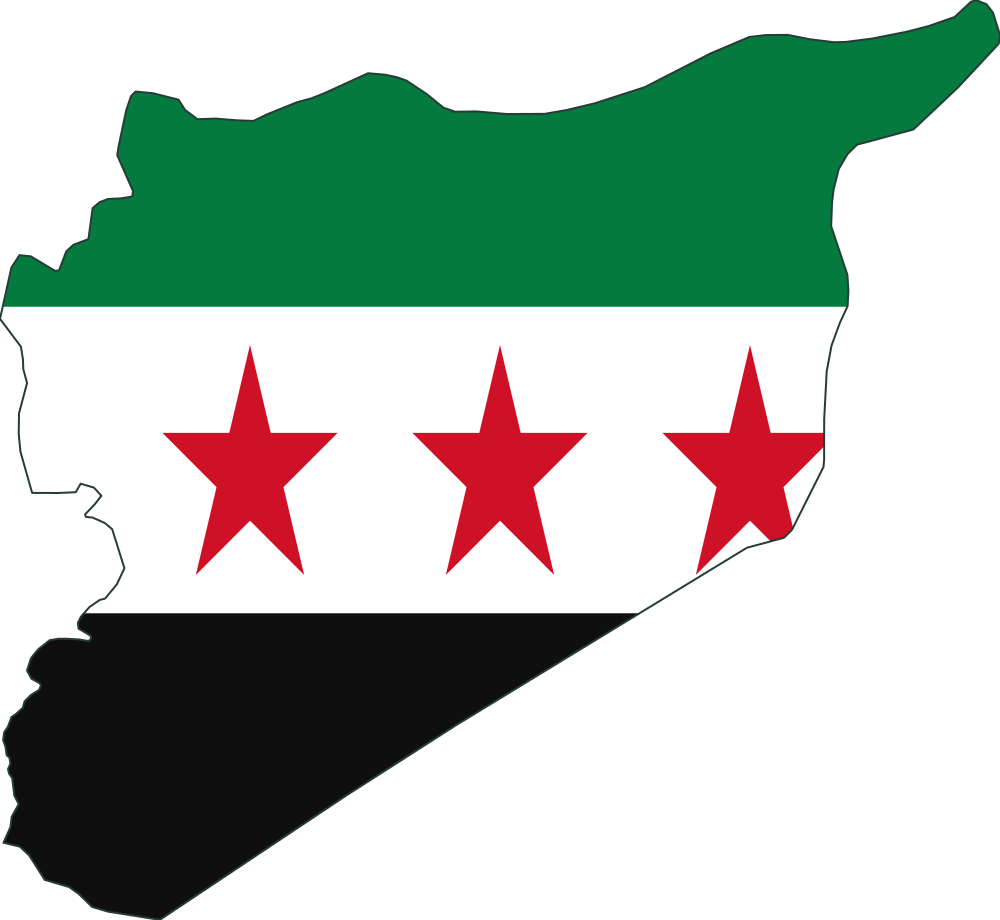
    Syria, used for the east–west width comparison
    ReferenceSyria≈ 600 km east–west
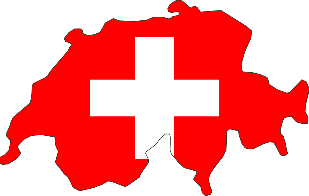
    Switzerland, used for the east–west width comparison
    Compared objectSwitzerland≈ 340 km east–west

    Illustrations shown individually, not to a shared scale.

    Actual size ratio

    ≈ 0.5669×

    Switzerland ÷ Syria, comparing east–west width.

    This simplified Natural Earth outline of Switzerland shows the territory and islands represented in this dataset. Its approximate east–west span is 340 km in a local equirectangular projection corrected at the outline's middle latitude. This is a projected extent, not land area.
    Measurement source · naturalearthdata.com
  4. Round 4

    How far north to south is Greece compared with Spain?

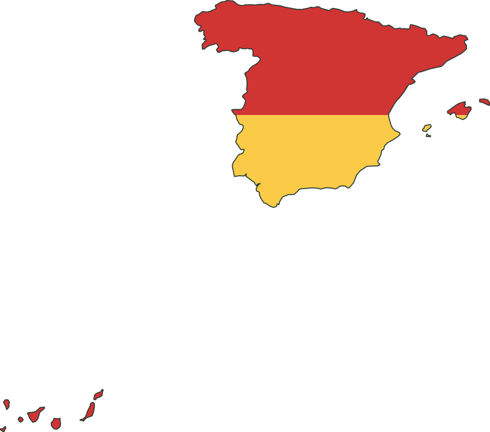
    Spain, used for the north–south height comparison
    ReferenceSpain≈ 1,790 km north–south
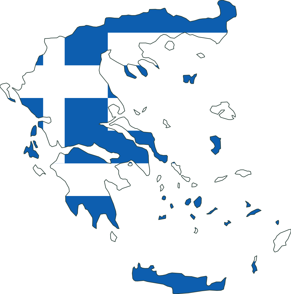
    Greece, used for the north–south height comparison
    Compared objectGreece≈ 760 km north–south

    Illustrations shown individually, not to a shared scale.

    Actual size ratio

    ≈ 0.4225×

    Greece ÷ Spain, comparing north–south height.

    This simplified Natural Earth outline of Greece shows the mainland and islands represented in this dataset. Its approximate north–south span is 760 km in a local equirectangular projection corrected at the outline's middle latitude. This is a projected extent, not land area.

    Measurement source · naturalearthdata.com
  5. Round 5

    How wide is Micronesia compared with Madagascar?

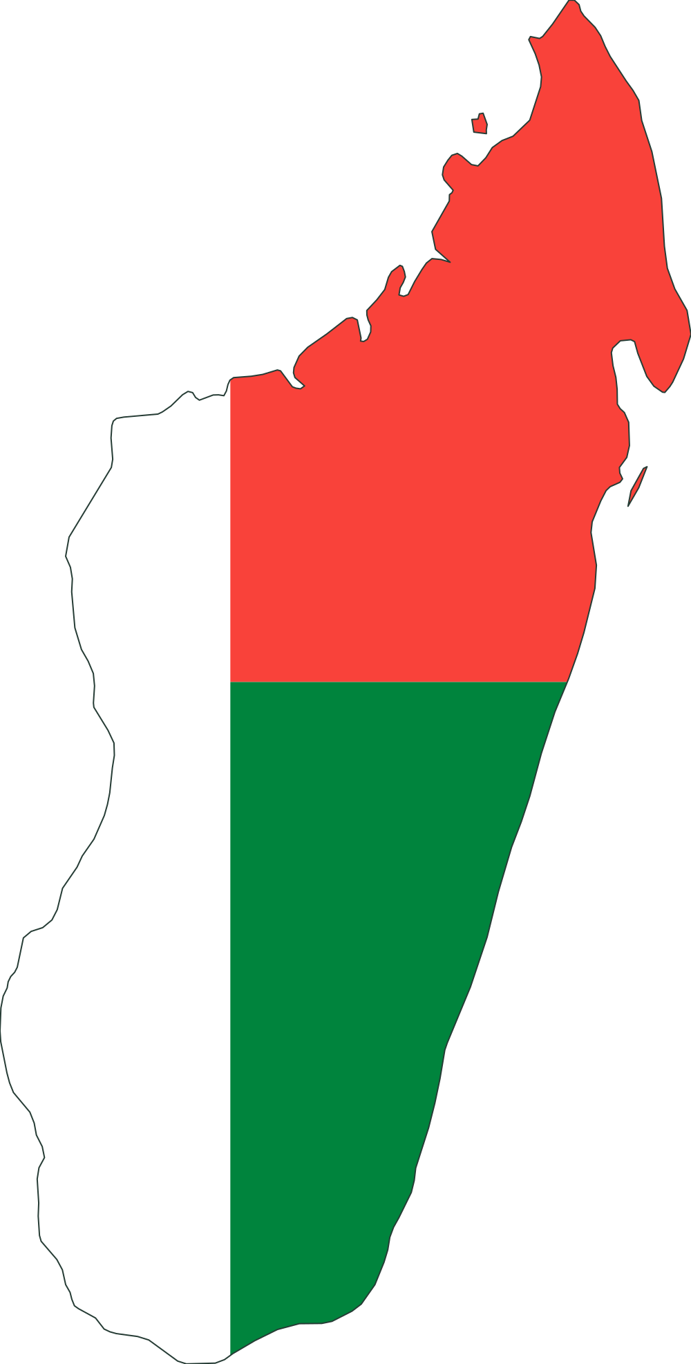
    Madagascar, used for the east–west width comparison
    ReferenceMadagascar≈ 760 km east–west
    Micronesia, used for the east–west width comparison
    Compared objectMicronesia≈ 2,750 km east–west

    Illustrations shown individually, not to a shared scale.

    Actual size ratio

    ≈ 3.615×

    Micronesia ÷ Madagascar, comparing east–west width.

    This simplified Natural Earth outline of Micronesia shows the territory and islands represented in this dataset. Its approximate east–west span is 2,750 km in a local equirectangular projection corrected at the outline's middle latitude. This is a projected extent, not land area.
    Measurement source · naturalearthdata.com